Skip to content
Positano on the Amalfi Coast, Italy

Pacific Coast Highway Road Trip: Complete 7-Day Itinerary

Reviewed September 2026

Last updated September 10, 2026 · Editorial policy

6 min read·Updated Sep 2026
⏱ 6 min read📖 1,225 words📅 Sep 2026

The Ultimate Pacific Coast Highway Road Trip Guide

Quick answer: About 810 km (505 miles) from San Francisco to Santa Monica, using Highway 1 wherever it hugs the coast and the shared US 101 sections between San Luis Obispo and Ventura. Four days is the practical minimum; 5 to 7 days lets Monterey and Big Sur be more than photo pauses.

This guide sets out the Pacific Coast Highway stop by stop, with realistic driving times between each one, how long to stay, when to go and what most often catches drivers out.

The Pacific Coast Highway, Stop by Stop

Stop 1: San Francisco, California

Start point. Stay 1 night. Worth a day before setting off, for Golden Gate Park, the Presidio and the Golden Gate Bridge. Highway 1 leaves the city past Ocean Beach and drops south through Pacifica and the Tom Lantos Tunnels, which replaced the old Devil’s Slide cliff road in 2013.

Stop 2: Santa Cruz, California

2 hr, 120 km. Stay 1 night. The road runs past Half Moon Bay, the Pigeon Point Lighthouse and Ano Nuevo State Park, where northern elephant seals haul out. Santa Cruz has the Beach Boardwalk and its 1924 Giant Dipper wooden coaster, the municipal wharf, and the sea arches at Natural Bridges State Beach.

Stop 3: Monterey and Pacific Grove, California

50 min, 70 km. Stay 1 night. Cannery Row and the Monterey Bay Aquarium occupy the old sardine waterfront. Pacific Grove wraps the tip of the peninsula with a shoreline path and the Point Pinos Lighthouse. The private 17-Mile Drive loop through Pebble Beach passes the Lone Cypress and Bird Rock; a gate fee applies.

Stop 4: Carmel-by-the-Sea and Point Lobos, California

20 min, 12 km. Carmel-by-the-Sea has a compact walkable centre, a white sand beach at the foot of Ocean Avenue and the Carmel Mission Basilica, founded in 1771. A short distance south, Point Lobos State Natural Reserve has headland loops above Whalers Cove and China Cove. Check current entry rules before arriving.

Stop 5: Big Sur, California

50 min, 42 km. Stay 1 night. Bixby Creek Bridge and Rocky Creek Bridge are the two photographed spans north of the valley, and Point Sur Lighthouse stands on its volcanic rock. Pfeiffer Big Sur State Park, Andrew Molera and Julia Pfeiffer Burns hold the redwood and coastal trails. Confirm road and park status before committing.

Stop 6: San Simeon, California

2 hr 15 min, 145 km. Stay 1 night. Hearst Castle runs guided tours of the Casa Grande rooms, the gardens and the Neptune Pool, reached by shuttle from the visitor centre; book ahead. Just north at Piedras Blancas, an open boardwalk overlooks an elephant seal rookery where numbers peak in the winter breeding season and again during the spring moult.

Stop 7: Morro Bay, California

50 min, 65 km. Stay 1 night. Morro Rock, a volcanic plug, closes the harbour mouth, and the Embarcadero runs along the water where sea otters use the estuary. Montana de Oro State Park just south has the Bluff Trail above Spooner’s Cove. Cambria’s Moonstone Beach boardwalk sits on the way down from San Simeon.

Stop 8: Santa Barbara, California

2 hr 15 min, 210 km. Stay 1 night. The route runs inland on US 101 through San Luis Obispo and Pismo Beach, then back to the water along the Gaviota coast. Santa Barbara has the 1929 County Courthouse with its clock tower viewpoint, the Old Mission founded in 1786, State Street and Stearns Wharf.

Stop 9: Malibu and Santa Monica, California

1 hr 45 min, 145 km. Stay 2 nights. Highway 1 returns to the shoreline past Point Mugu, Zuma Beach, Point Dume and Malibu Pier. The last miles cross the Pacific Palisades burn area, where rebuilding continues and stopping is restricted. The drive ends at Santa Monica Pier, Palisades Park and the bluff path above the beach.

Distance and time. About 810 km (505 miles) from San Francisco to Santa Monica, using Highway 1 wherever it hugs the coast and the shared US 101 sections between San Luis Obispo and Ventura. Four days is the practical minimum; 5 to 7 days lets Monterey and Big Sur be more than photo pauses.

When to go. September and October are the clearest months on this coast, when the marine layer is weakest and the days are warm. April and May are the next best. June and July are the months to avoid for views: a persistent coastal fog can sit over Big Sur and Monterey for days at a time. December to March brings the heaviest rain and the highest landslide risk, and August to October is peak wildfire season on the Central Coast, which has closed Highway 1 and the Big Sur state parks in 2026.

Which direction. North to south, San Francisco to Santa Monica. Southbound puts the car in the ocean-side lane, so every turnout, overlook and beach car park is a right turn taken without crossing oncoming traffic. It also keeps the cliff edge on the passenger side, which most drivers find far less stressful on the Big Sur curves.

What most often goes wrong. Assuming Highway 1 is open the whole way. The Big Sur section closes repeatedly from landslides and wildfire, and those closures run for months, not hours: the Regent’s Slide closure lasted almost three years before the road reopened in January 2026, and a wildfire closure was still in force in September 2026. Check the Caltrans QuickMap and the Caltrans District 5 road report on the morning of the drive, and know that the inland US 101 detour adds several hours.

Road Trip Essentials

  • Rental car: Reserve 1-2 months ahead in peak season. Check insurance — credit card coverage may suffice, but verify.
  • Offline maps: Download Google Maps regions before driving. Cell coverage drops in remote areas.
  • Cash: Smaller towns and tolls may not accept cards. Carry $50-100 in local currency.
  • Roadside assistance: Confirm what’s included in your rental.
  • Driver fatigue: Switch drivers every 2-3 hours if possible. Rest is non-negotiable.

Frequently Asked Questions

How long does a Pacific Coast Highway Road Trip road trip take?

A Pacific Coast Highway Road Trip road trip can be done in 5-7 days at a comfortable pace, or stretched to 10-14 days for a deeper experience. Adjust based on how much driving you enjoy per day (200-300 miles is the sweet spot).
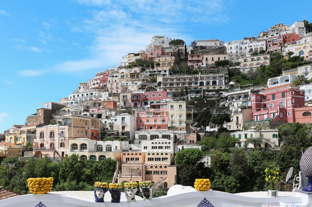
Positano on the Amalfi Coast, Italy
What’s the best route for a Pacific Coast Highway Road Trip road trip?

The classic loop visits major destinations + scenic stretches. Avoid driving the same road both ways — plan a circuit if possible. See the stop-by-stop above for the recommended sequence.

Do I need a 4×4 for a Pacific Coast Highway Road Trip road trip?

For most paved highway driving, a regular sedan or SUV works. For dirt roads, mountain passes, or off-road detours, a 4×4 may be necessary. Research your specific route’s road conditions in shoulder/off-season.

What should I pack for a Pacific Coast Highway Road Trip road trip?

Water (gallon+ per person per day), snacks, layers, sunscreen, hat, sunglasses, phone car charger, offline maps, paper map backup, basic first-aid, jumper cables, spare tire knowledge.

How much will a Pacific Coast Highway Road Trip road trip cost?

Budget: $80-130/day per person (rental car + gas + budget hotels + cheap food). Mid-range: $180-300/day per person. Luxury: $400+/day per person. Rental car is the biggest variable.

When is the best time for a Pacific Coast Highway Road Trip road trip?

Shoulder seasons offer best weather + lowest hotel prices + open roads. Avoid extreme weather (snow, monsoon, hurricane season). Check seasonal road closures in mountain areas.